Credits
credits
Every photo on Hike Vancouver is a real photo of the place it shows, used under an open licence and credited below. Illustrations, textures and torn-paper edges are original artwork.
photos
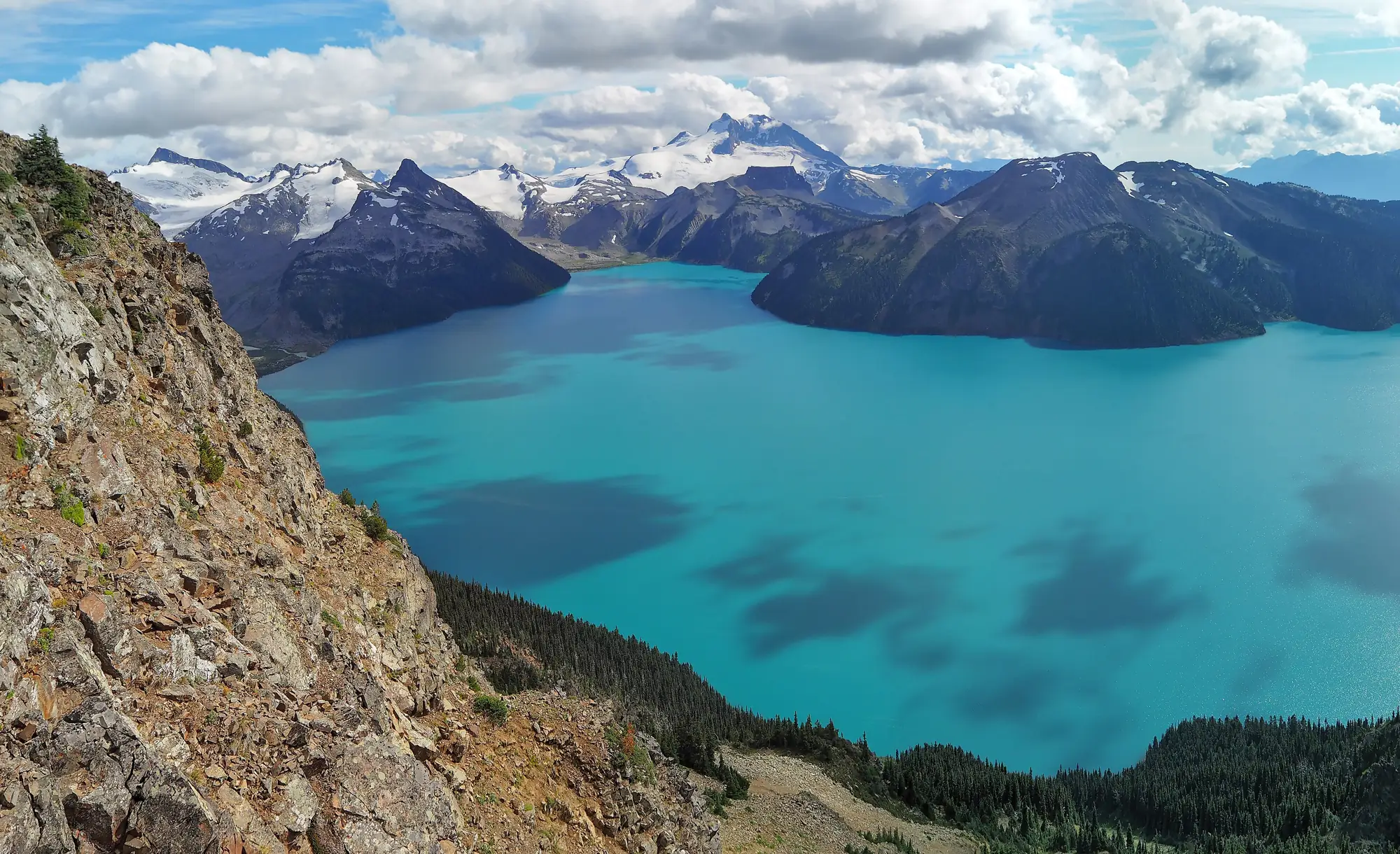
- Garibaldi Lake from Panorama Ridge, Garibaldi Park. Photo: The Cosmonaut, Garibaldi Lake seen from Panorama Ridge.jpg on Wikimedia Commons, licensed CC BY-SA 2.5 ca. Resized and converted to WebP; torn-edge crops applied in CSS.
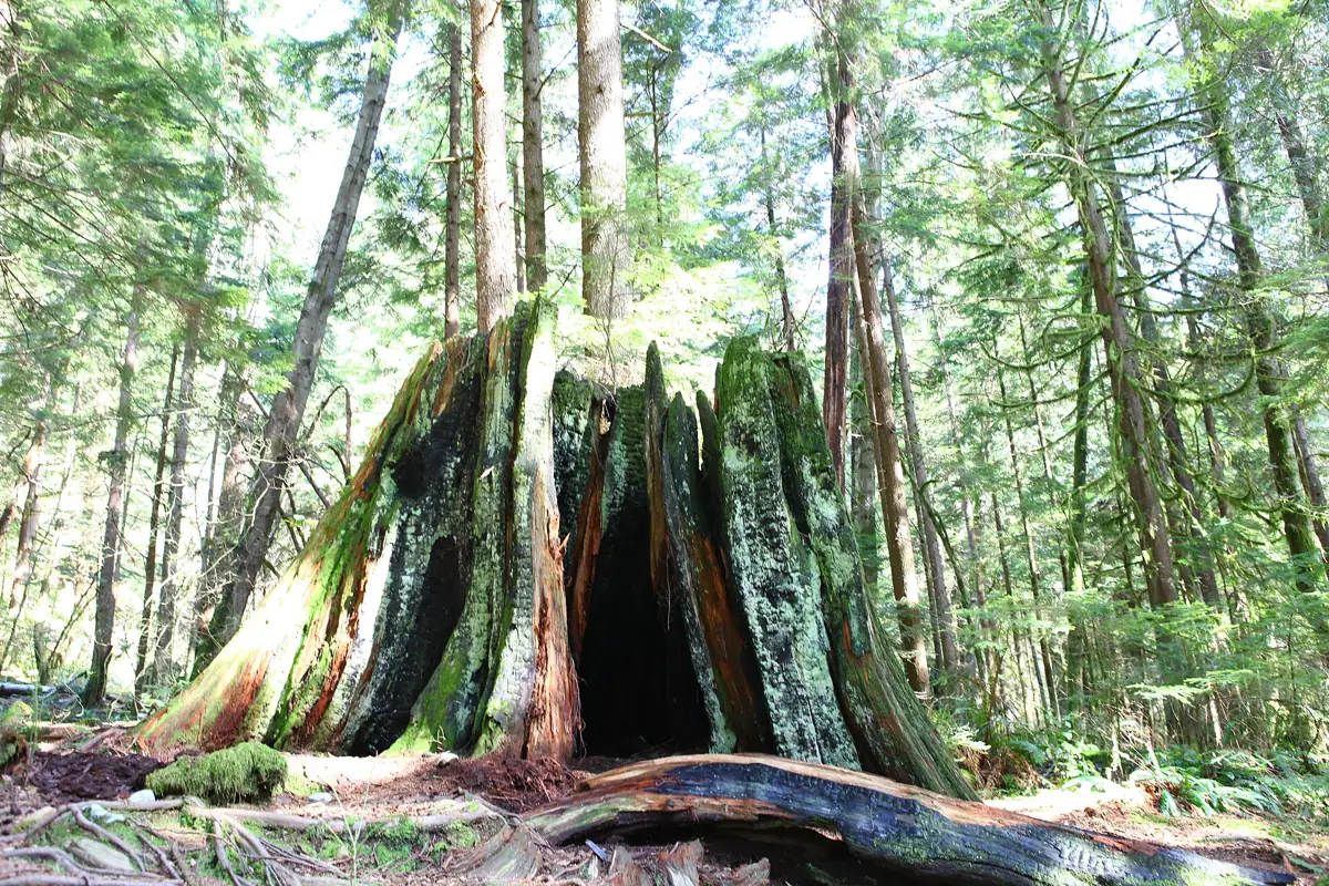
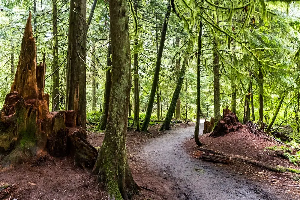
- Forest in Lynn Headwaters Regional Park, North Vancouver. Photo: GoToVan, Lynn Headwaters (7016783003).jpg on Wikimedia Commons, licensed CC BY 2.0. Resized and converted to WebP; torn-edge crops applied in CSS.
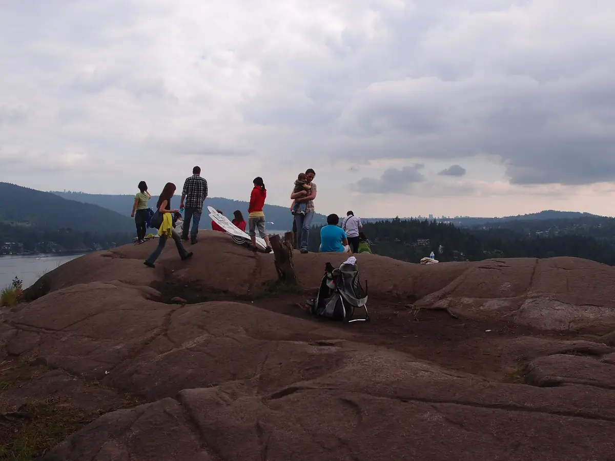
- Quarry Rock above Deep Cove, North Vancouver. Photo: Guilhem Vellut from Annecy, France, Quarry Rock @ Baden Powell Trail Lynn Valley to Deep Cove (5825057804).jpg on Wikimedia Commons, licensed CC BY 2.0. Resized and converted to WebP; torn-edge crops applied in CSS.
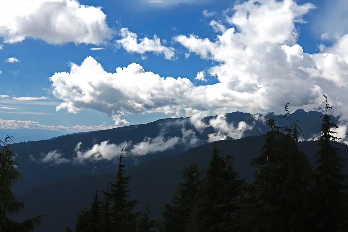
- View from Dog Mountain, Mount Seymour Park. Photo: David Abercrombie, View from Dog Mountain (29942059646).jpg on Wikimedia Commons, licensed CC BY-SA 2.0. Resized and converted to WebP; torn-edge crops applied in CSS.
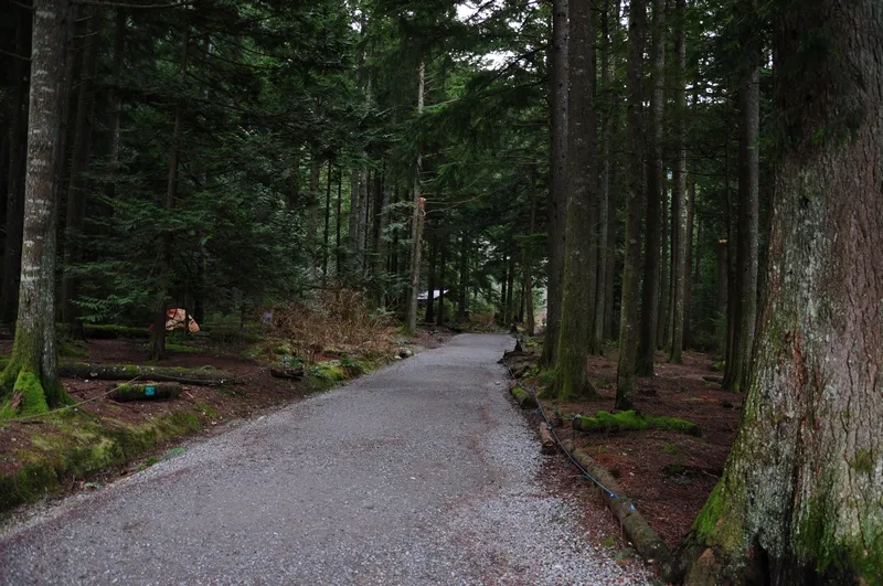
- Forest trail in Pacific Spirit Regional Park, Vancouver. Photo: Los Paseos, Forest of Pacific Spirit Park, Vancouver.jpg on Wikimedia Commons, licensed CC BY-SA 2.0. Resized and converted to WebP; torn-edge crops applied in CSS.
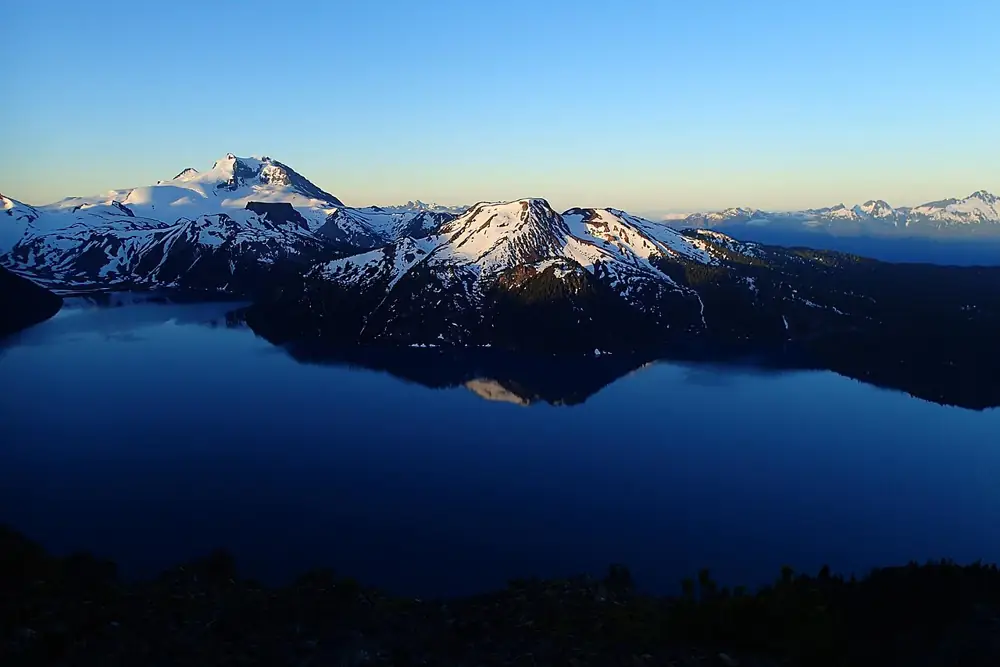
- Dawn view from Panorama Ridge over Garibaldi Lake. Photo: Luis Dias, Garibaldi Lake from Panorama Ridge at Dawn.jpg on Wikimedia Commons, licensed CC BY-SA 4.0. Resized and converted to WebP; torn-edge crops applied in CSS.
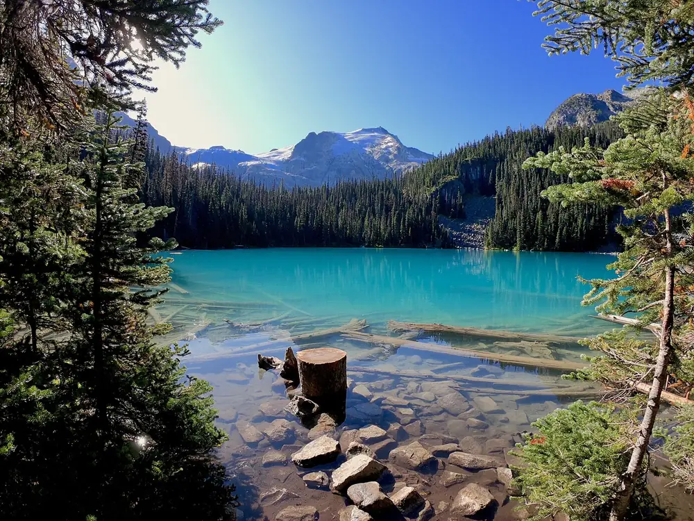
- Middle Joffre Lake, Joffre Lakes Park. Photo: Nicolas May, Middle Joffre Lake Nicolas May.jpg on Wikimedia Commons, licensed CC BY-SA 4.0. Resized and converted to WebP; torn-edge crops applied in CSS.
- Start of the trail at the Stawamus Chief trailhead, Squamish. Photo: Juraj Tatár, Trailhead , Chief - panoramio.jpg on Wikimedia Commons, licensed CC BY-SA 3.0. Resized and converted to WebP; torn-edge crops applied in CSS.
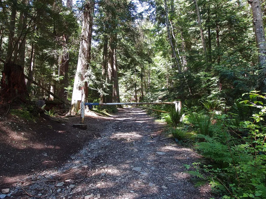
- Mount Gardner trailhead on Bowen Island. Photo: Guilhem Vellut from Annecy, France, Mount Gardner Trailhead @ Bowen Island (5798505574).jpg on Wikimedia Commons, licensed CC BY 2.0. Resized and converted to WebP; torn-edge crops applied in CSS.
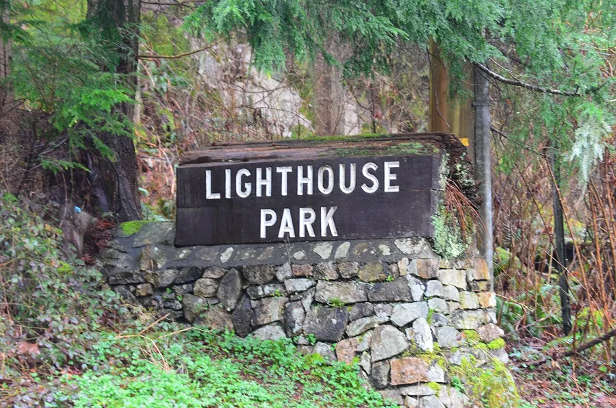
- Lighthouse Park entrance sign, West Vancouver. Photo: Laurenensworth, Lighthouse Park Entrance .jpg on Wikimedia Commons, licensed CC BY-SA 4.0. Resized and converted to WebP; torn-edge crops applied in CSS.
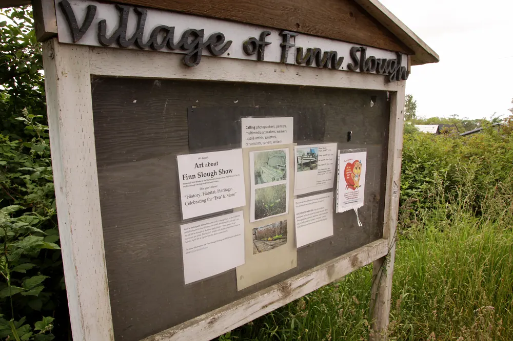
- Finn Slough seen from the dyke in south Richmond. Photo: waferboard, BC - Richmond - 160528-106 (27163013993).png on Wikimedia Commons, licensed CC BY 2.0. Resized and converted to WebP; torn-edge crops applied in CSS.
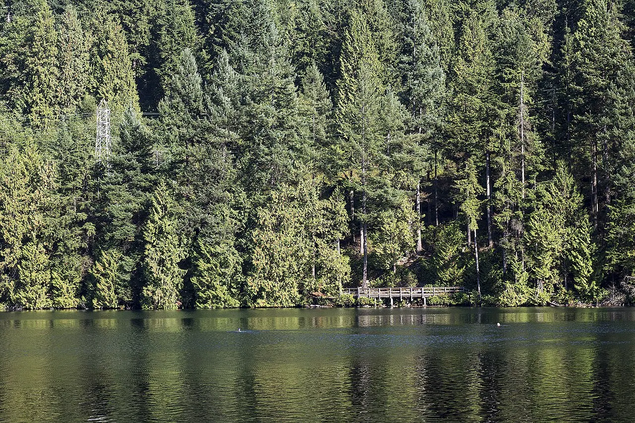
- Sasamat Lake in Belcarra Regional Park, beside the White Pine Beach trailhead. Photo: Jeff Macleod, Sasamat Lake Bridge (121423825).jpeg on Wikimedia Commons, licensed CC BY-SA 3.0. Resized and converted to WebP; torn-edge crops applied in CSS.
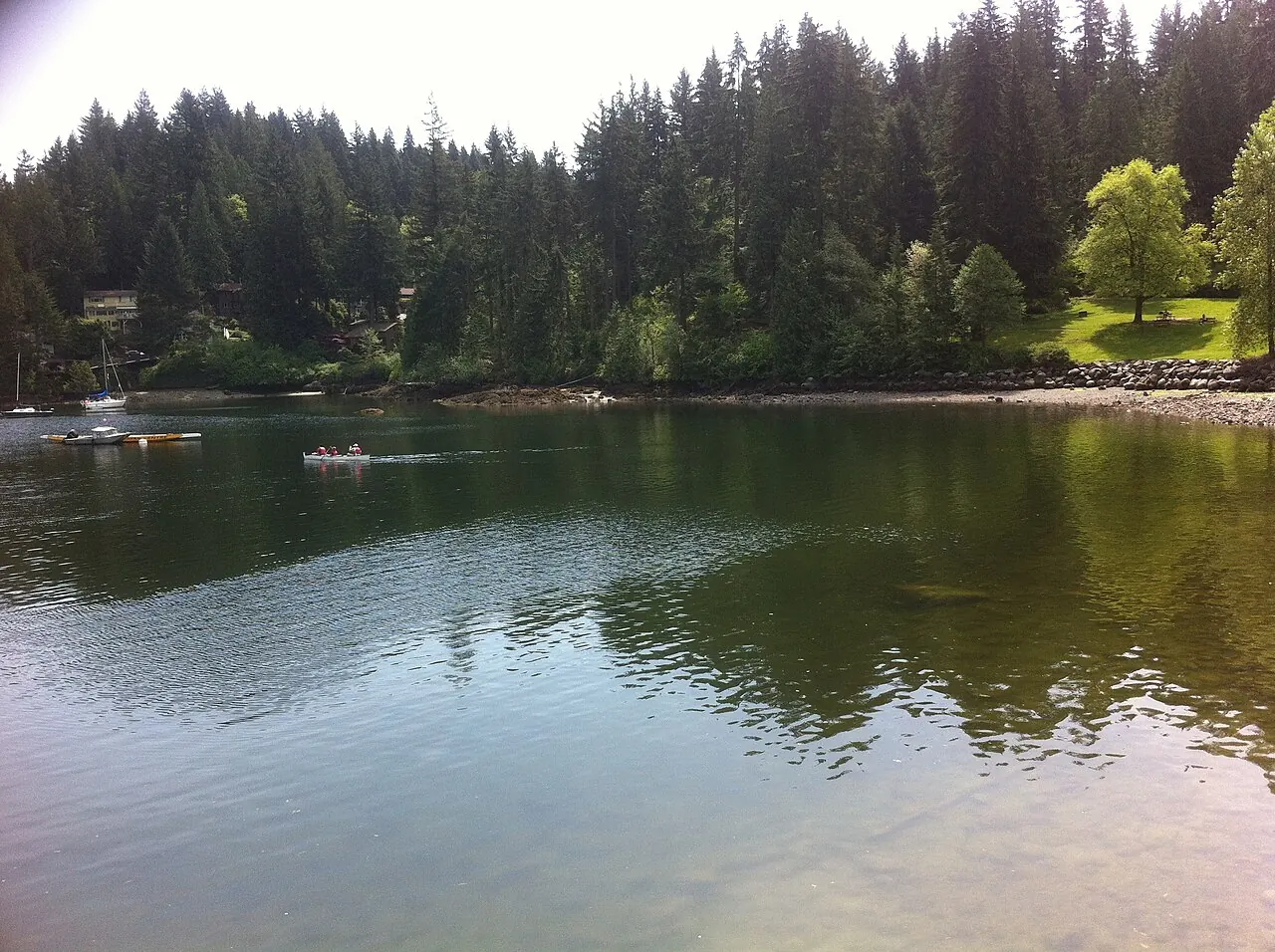
- Deep Cove, North Vancouver, where the walk to Grey Rock begins. Photo: bynyalcin, Deep cove n.vancouver - panoramio.jpg on Wikimedia Commons, licensed CC BY 3.0. Resized and converted to WebP; torn-edge crops applied in CSS.
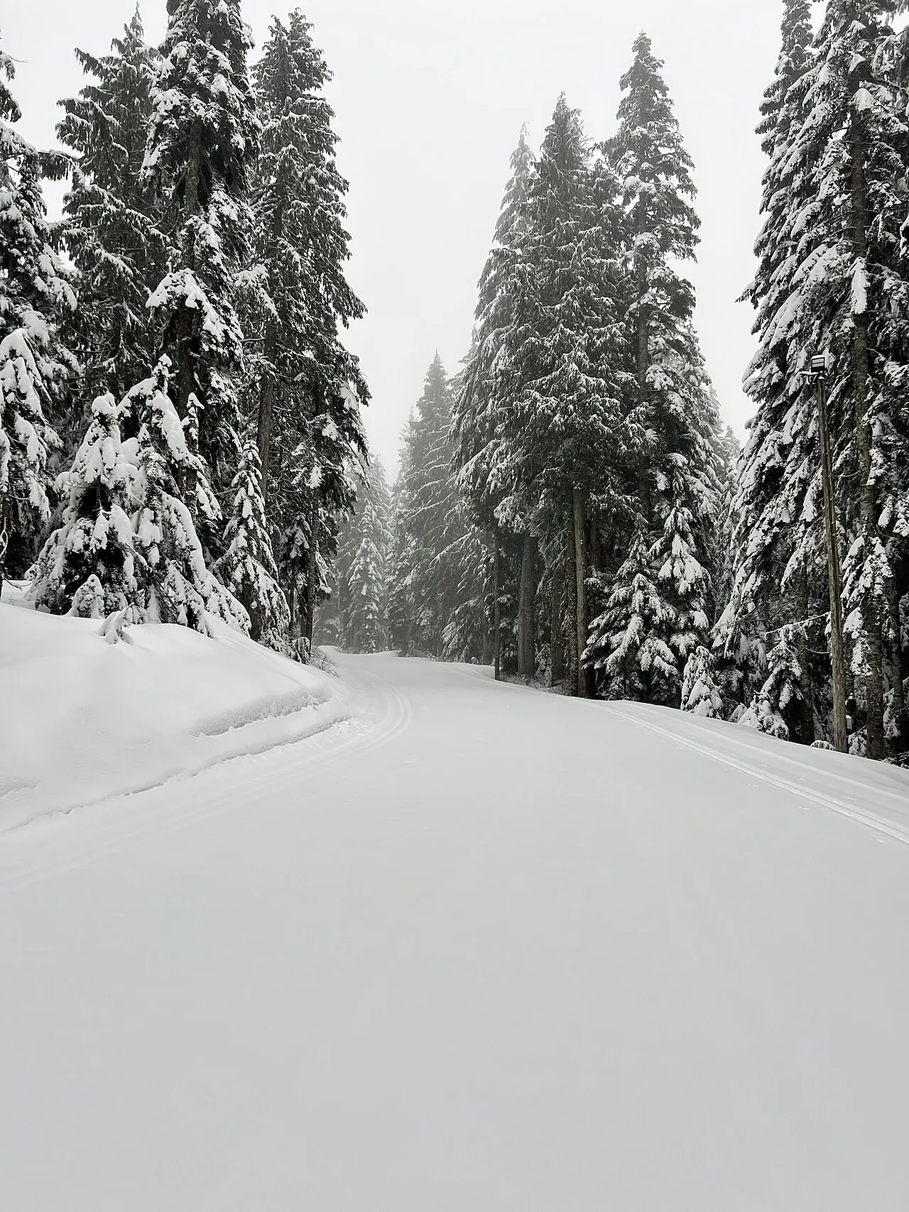
- A trail in the Cypress Mountain Nordic area, where the Hollyburn Lakes route starts. Photo: Manticoco, CypressMountainNordic.jpg on Wikimedia Commons, licensed CC BY-SA 4.0. Resized and converted to WebP; torn-edge crops applied in CSS.
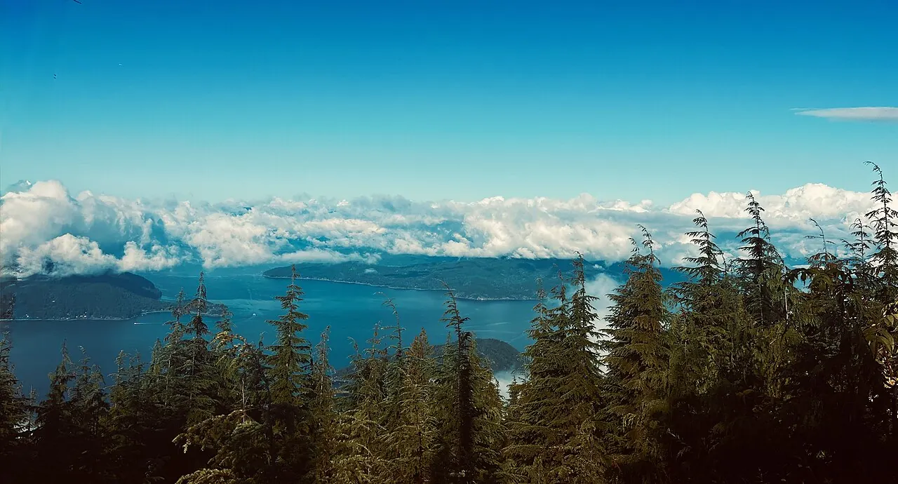
- Bowen Lookout in Cypress Provincial Park. Photo: Sparklymellon, Bowen Lookout.jpg on Wikimedia Commons, licensed CC0. Resized and converted to WebP; torn-edge crops applied in CSS.
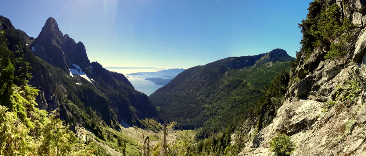
- View from the Howe Sound Crest Trail in Cypress Provincial Park. Photo: Andrew Plowright, Cypress Provincial Park.jpg on Wikimedia Commons, licensed CC BY-SA 4.0. Resized and converted to WebP; torn-edge crops applied in CSS.
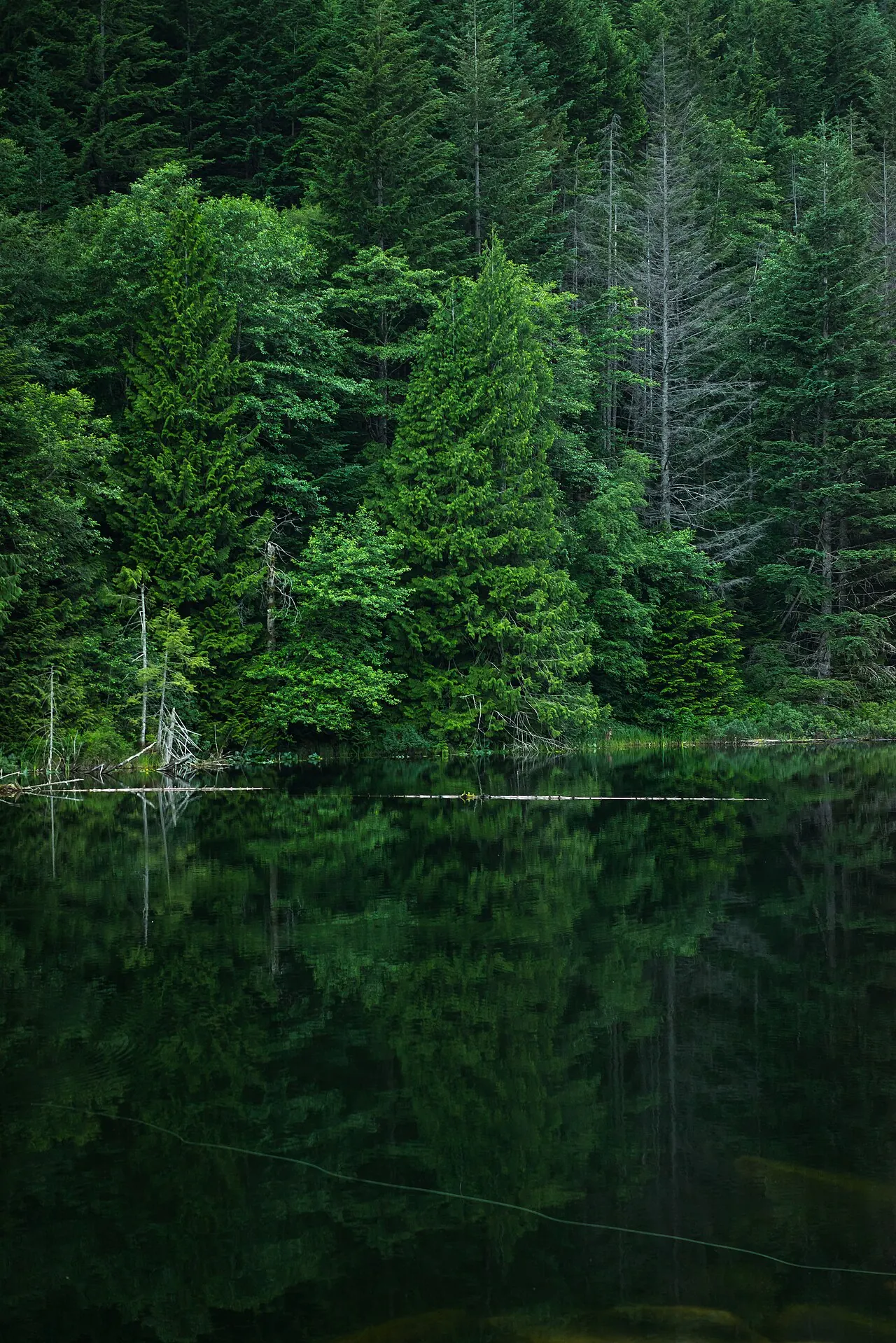
- Forest near Brohm Lake, north of Squamish. Photo: Bryce Evans artofbryce, Green woods near Brohm Lake (Unsplash).jpg on Wikimedia Commons, licensed CC0. Resized and converted to WebP; torn-edge crops applied in CSS.
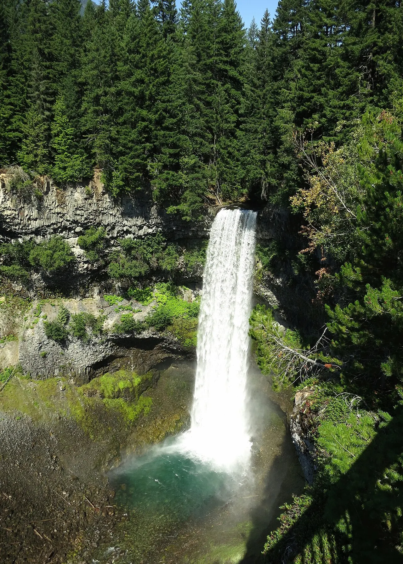
- Brandywine Falls, near the start of the Cal-Cheak Trail. Photo: Ruth Hartnup from Vancouver, Canada, Brandywine Falls (14684849310).jpg on Wikimedia Commons, licensed CC BY 2.0. Resized and converted to WebP; torn-edge crops applied in CSS.
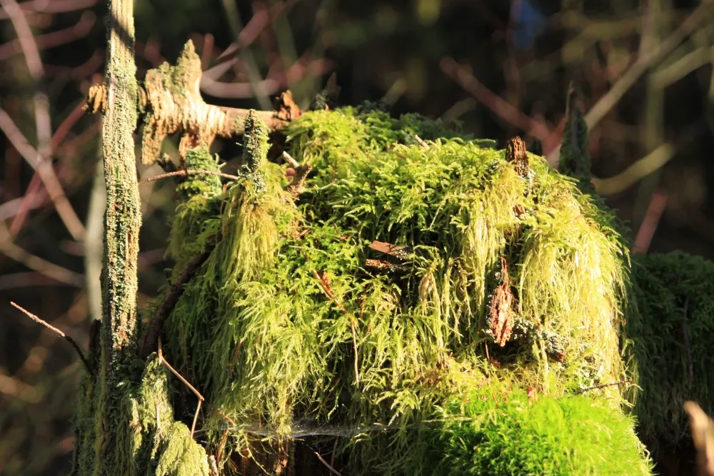
- Moss-covered stump in Sunnyside Acres Urban Forest, Surrey. Photo: waferboard, Moss-eroded stump (12578726513).jpg on Wikimedia Commons, licensed CC BY 2.0. Resized and converted to WebP; torn-edge crops applied in CSS.
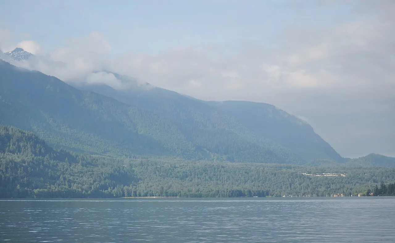
- Cultus Lake, near Chilliwack. Photo: The High Fin Sperm Whale, Cultus lake.JPG on Wikimedia Commons, licensed CC BY-SA 3.0. Resized and converted to WebP; torn-edge crops applied in CSS.
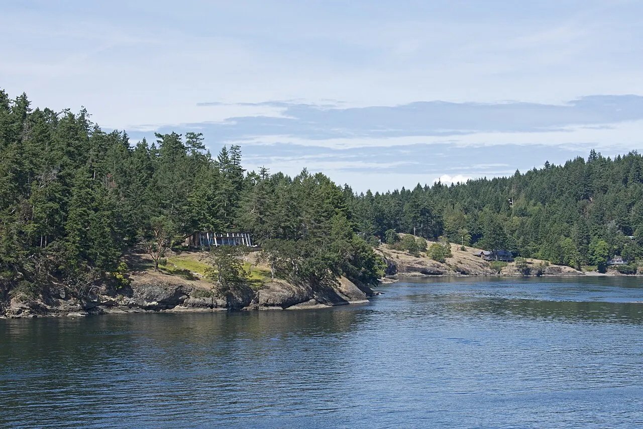
- Active Pass and Galiano Island. Photo: Ymblanter, Active Pass and Galiano Island 1.jpg on Wikimedia Commons, licensed CC BY-SA 4.0. Resized and converted to WebP; torn-edge crops applied in CSS.
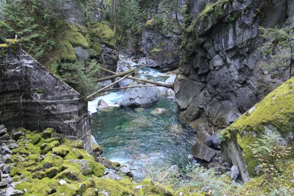
- Coquihalla River canyon at the Othello Tunnels, where the walk starts. Photo: waferboard, BC - Hope - 131027-107 (11067786546).jpg on Wikimedia Commons, licensed CC BY 2.0. Resized and converted to WebP; torn-edge crops applied in CSS.
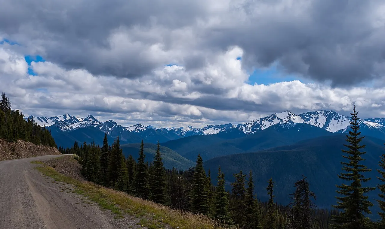
- Blackwall Peak area in E.C. Manning Provincial Park, at the start of the Heather Trail. Photo: Kay Röllig, Blackwall Peak (208066549).jpeg on Wikimedia Commons, licensed CC BY 3.0. Resized and converted to WebP; torn-edge crops applied in CSS.
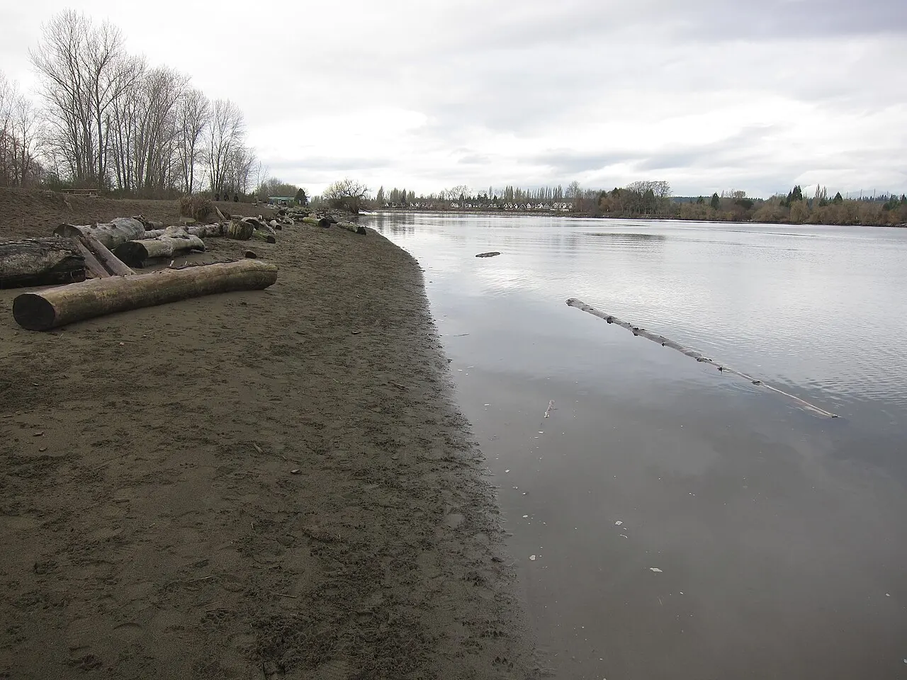
- McDonald Beach Park on Sea Island, Richmond. Photo: Ken Marshall, McDonald Beach Park.jpg on Wikimedia Commons, licensed CC BY 2.0. Resized and converted to WebP; torn-edge crops applied in CSS.
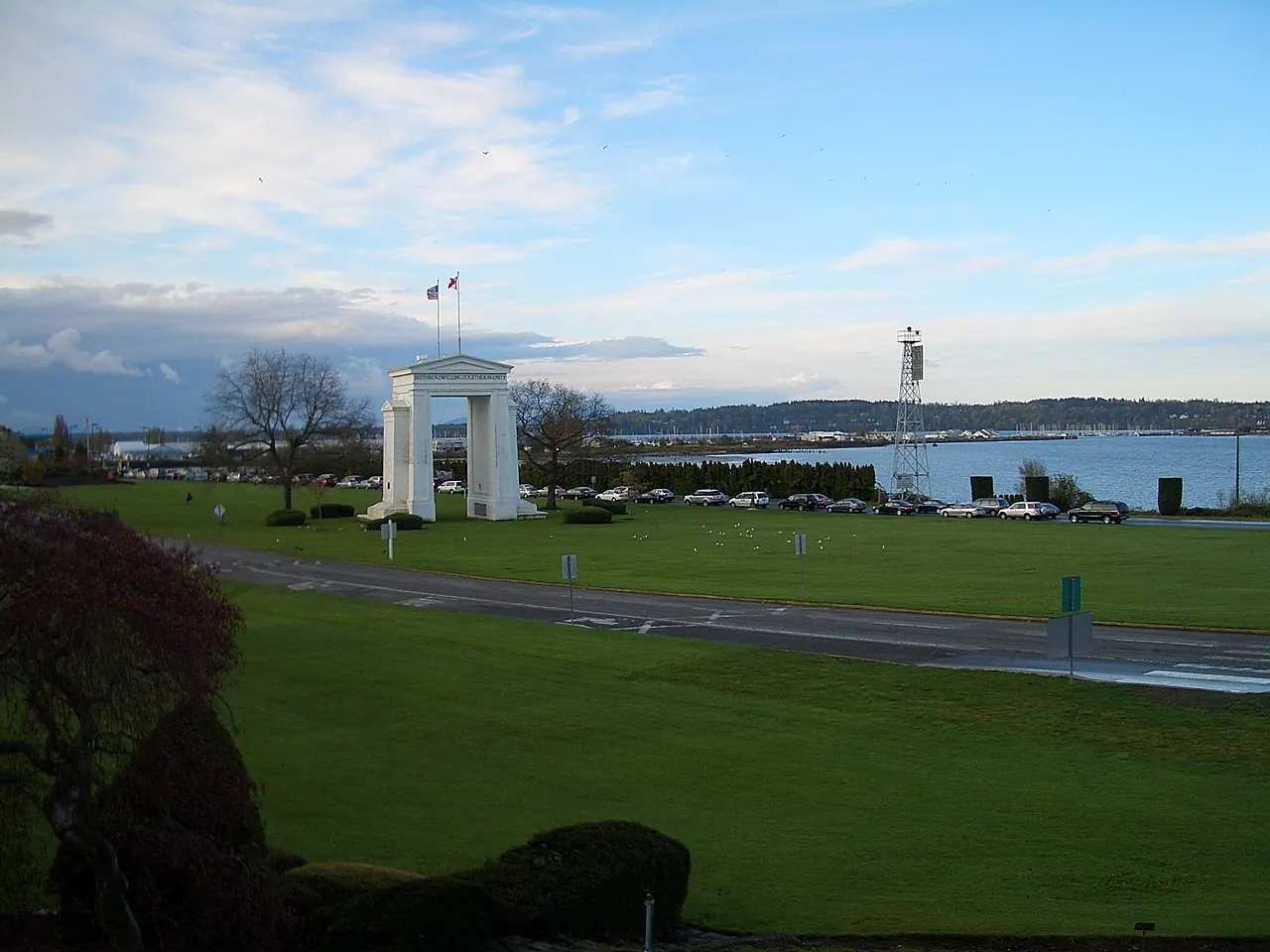
- The Peace Arch with Semiahmoo Bay behind. Photo: User:Vmenkov, Peace-Arch-3614.jpg on Wikimedia Commons, licensed CC BY-SA 3.0. Resized and converted to WebP; torn-edge crops applied in CSS.
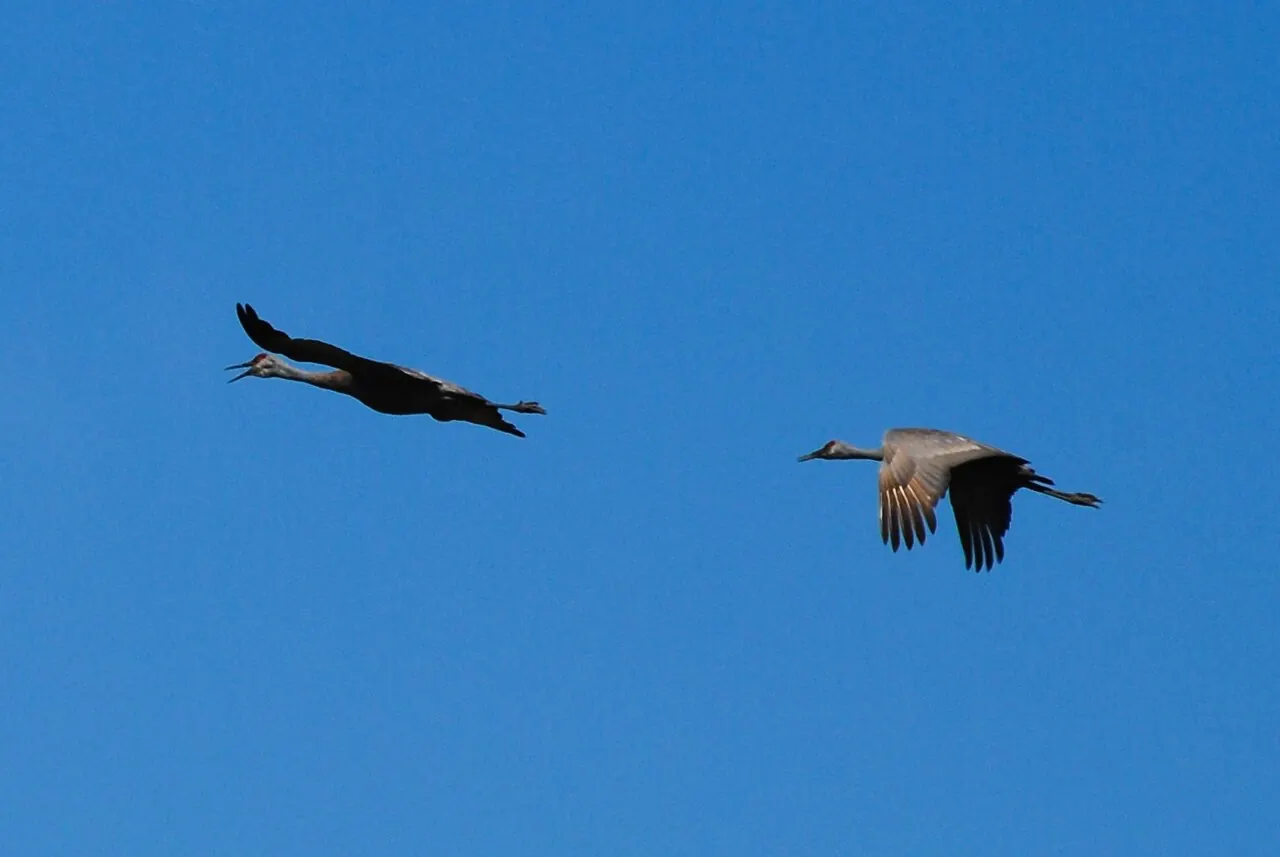
- Sandhill cranes at the George C. Reifel Migratory Bird Sanctuary. Photo: stevevoght, Sandhill Cranes, Reifel Sanctuary.jpg on Wikimedia Commons, licensed CC BY-SA 2.0. Resized and converted to WebP; torn-edge crops applied in CSS.
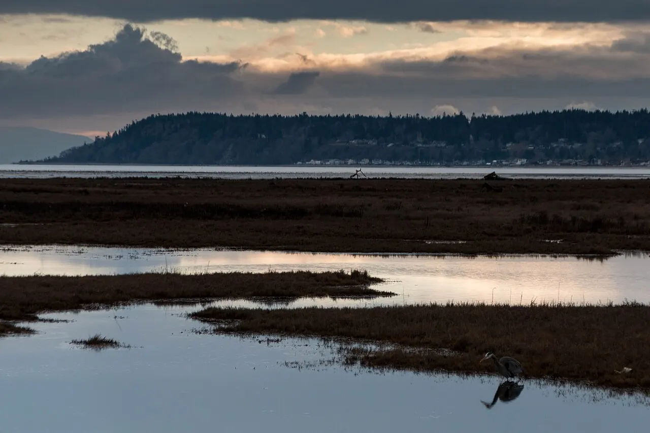
- Great blue heron on Boundary Bay, Delta. Photo: James Abbott, Boundary Bay Sunset.jpg on Wikimedia Commons, licensed CC BY-SA 2.0. Resized and converted to WebP; torn-edge crops applied in CSS.
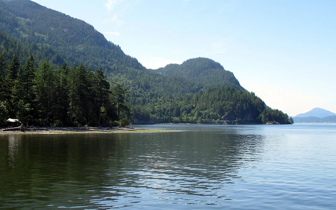
- Coastline at Porteau Cove Provincial Park. Photo: Kyla Duhamel from Saskatoon, Canada, PorteauCovePP-coast.jpg on Wikimedia Commons, licensed CC BY 2.0. Resized and converted to WebP; torn-edge crops applied in CSS.
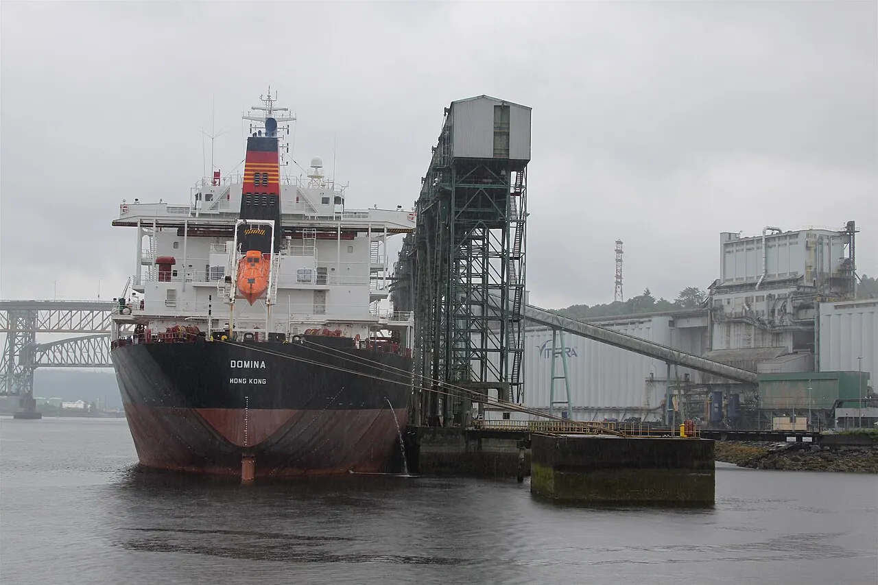
- Grain terminal on Burrard Inlet, seen from New Brighton Park. Photo: Roy Luck, Chinese freighter loading grain, from Brighton Park.jpg on Wikimedia Commons, licensed CC BY 2.0. Resized and converted to WebP; torn-edge crops applied in CSS.
Photos are hosted on this site, not hotlinked. If you are a photographer listed here and want a change, email [email protected].
fonts
- Inter, by Rasmus Andersson, SIL Open Font License 1.1 (Latin variable subset).
original artwork
The logo, map, topographic lines, paper textures, torn edges, route lines, elevation graphics, tickets and passport stamps are original artwork made for Hike Vancouver. The sponsor photo and logos are Cam Appleton's own brand assets.